


Solutions for Mining Industry
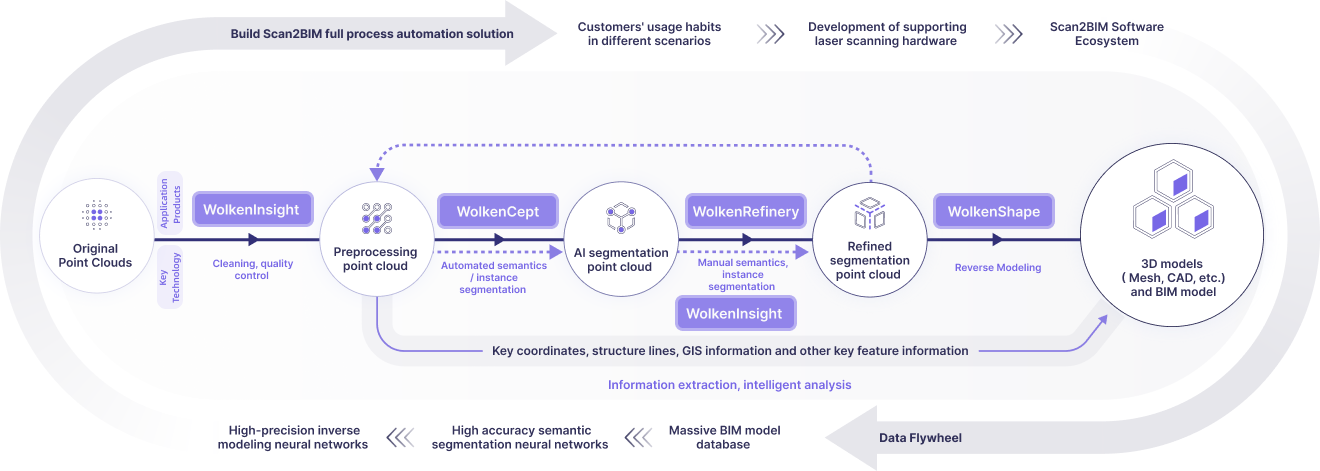
Scan2BIM-based Digital Mining Solution
Quickly capture high-precision 3D mine data at low cost, boosting safety, planning, and efficiency


Industries & Solutions
Industries & Solutions

Architecture Engineering and Construction (AEC)
Energy
Urban Planning
New Sectors Under Exploration
Products
Products
About Us
About Us
About Us
News
Architecture![]()
Energy![]()
Urban planning![]()
About Us![]()
News![]()
Help Center![]()
Solutions
Solutions
Solutions

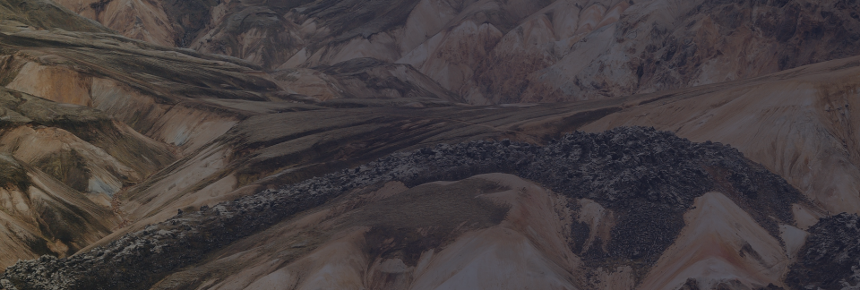
Scan2BIM-based Digital Mining Solution
Quickly capture high-precision 3D mine data at low cost, boosting safety, planning, and efficiency

Topographic
Surveying
Hazard
Inspection
Production
Information
3D Digital
Archives

Current State Restoration
Hazard Inspection
Collaborative Efficiency
Share your vision with us
— we’ll bring the technology to make it real.

Thank you for reaching out!
Our team will be in touch shortly.
Tell us about your project so we can tailor the best solution for you.

Industries & Solutions
© 2025 WolkenVision AG.