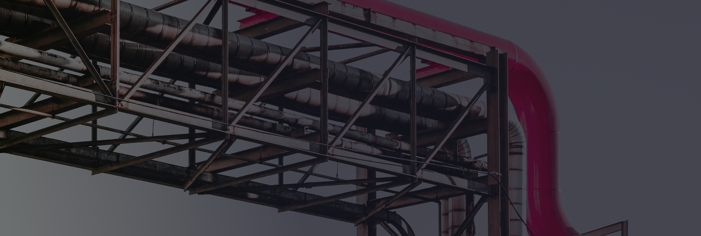
Solutions for Oil & Gas Pipeline
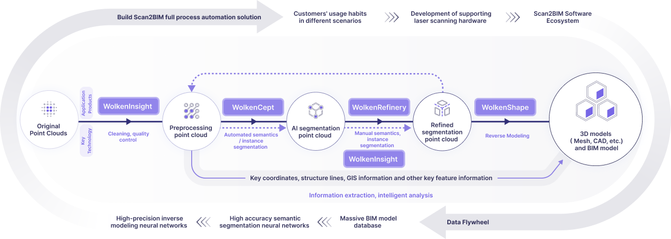
Using Scan2BIM to integrate point cloud reconstruction, semantic recognition, and risk alerts
Upgrading asset mapping, deformation monitoring, and emergency response -
accelerating smart pipeline network deployment